




What You See When You First Visit Obruk Lake
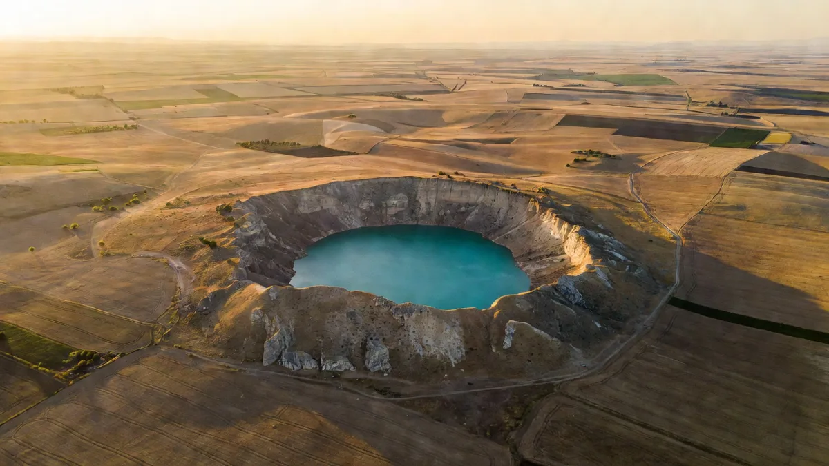
Just 12 kilometres northeast of Karapınar, a vast crater suddenly appears in the middle of what looks like flat farmland. Approximately 350 metres wide and 30 metres deep, Obruk Lake is astonishing at first glance. Its sides are almost vertical, filled with emerald-green water.
Local farmers call it a "lake", but it is actually a sinkhole. A massive collapse formed by the dissolution of the gypsum and limestone layer beneath the Tuz Gölü basin. Standing at the edge, the steep drop is enough to turn your stomach.
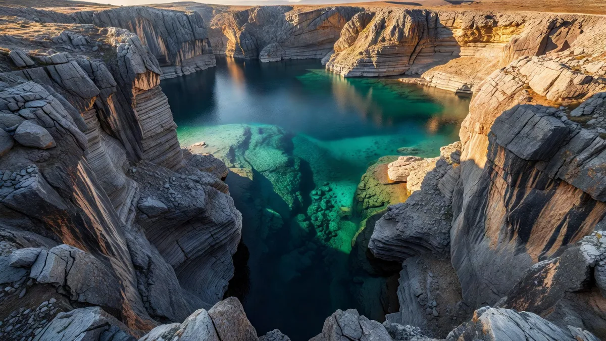
In the early 2020s the water was still several metres shallower. In recent years the water level has risen noticeably. Excessive groundwater extraction in the Konya Closed Basin is accelerating sinkhole formation.
Collapsing Fields Are a Real Loss
Here, sinkhole formation is not just a tourist curiosity. For a farmer it is a complete disaster. You can wake up one morning to find that 40-50 dönüms of your field have been replaced by a giant hole.
Hundreds of sinkholes have formed across the Karapınar plain in the last 15 years. Some are over 100 metres wide. Fertile land used for wheat and sugar beet can be rendered unusable by a single sinkhole.
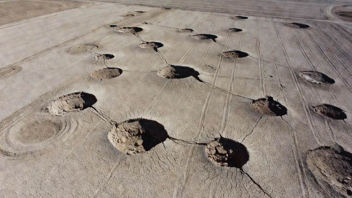
Local farmers are now selling high-risk plots at much lower prices – or cannot sell them at all. Buyers are worried that "there might be a void under my field too". This has seriously reduced liquidity for agricultural land in Karapınar.
What Is It Like to Live Around Obruk Lake?
For residents of the surrounding villages, sinkholes are both a tourism draw and a constant threat. In summer the lake turns turquoise tones and attracts visitors wanting to take photographs. In winter it takes on a darker, more ominous appearance.
When you see the "Obruk Gölü" signs while driving on village roads, you feel both excitement and unease. Because new sinkholes continue to form across the same plain. You can see "young sinkholes" 4-5 metres wide in the middle of some fields.
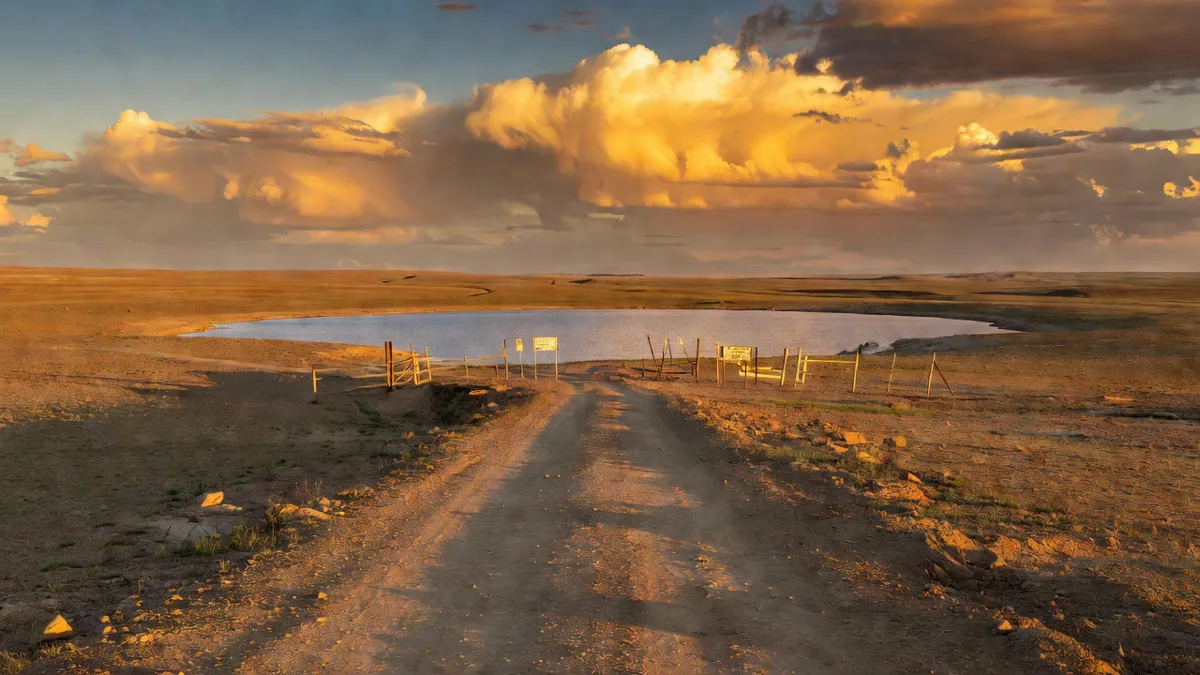
Local people put up fences and warning signs around the sinkholes. But how effective these measures are against such a powerful force of nature is debatable.
What Should You Look Out For When Buying Land or a Field Here?
If you are planning to buy land around Obruk Lake or to the north of Karapınar, you must commission a geological survey. The deeper the gypsum layer, the higher the risk.
Elderly farmers may share hearsay such as "you can hear water under that field". It is worth taking these seriously. Sinkholes usually form near old water wells.
The title deeds for some plots in the plain are also unclear. The state has not yet clarified any expropriation or support mechanisms for collapsed land. This creates uncertainty for those considering long-term investment.
The New Opportunity Created by the Sinkhole Landscape
Aside from the danger, Obruk Lake has become Karapınar’s most important tourist attraction in recent years. It is a magnet for nature photographers and drone enthusiasts.
Some spots right beside the lake are gradually opening up to boutique developments. Although still very limited, land prices with sinkhole views are higher than those of regular agricultural plots.
You can reach Obruk Lake from central Karapınar by car in 20 minutes. From central Konya it takes about 1 hour 15 minutes. This proximity adds extra value to the district for both tourism and potential residential development.
Don’t see this place as just "a beautiful lake". Karapınar Obruk Lake is the clearest and most dramatic face of the water crisis in the Konya Closed Basin. It is a stark warning created by both nature and human intervention.